Data alignment
LiDAR, imagery, field records and client pole identifiers are aligned in a consistent coordinate and attribute environment.
Pole profiles, attachment inventories, CAD drawings and structured SPIDAcalc-ready records from LiDAR, imagery and field data.
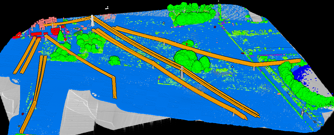
Final scope follows your project specification and accepted calibration sample.
Each stage has an explicit output, responsible reviewer and defined check.
LiDAR, imagery, field records and client pole identifiers are aligned in a consistent coordinate and attribute environment.
Poles, attachments, equipment, wires, spans and visible clearance conditions are captured against the approved rules.
Pole profiles, CAD geometry and structured records are prepared in the client template and required exchange format.
Identifiers, units, elevations, attachment order, required fields and cross-file consistency are reviewed before delivery.
Provide pole IDs, LiDAR and imagery dates, field records, the engineer's attribute definitions, units and an accepted import template for the target SPIDAcalc version.
Altivue Geospatial prepares pole records, profiles and proposed exchange inputs. Final structural analysis, design decisions and professional responsibility remain with the client’s appropriately qualified engineer. Compatibility is confirmed through sample import into the agreed software version.
Yes. A pilot confirms identifiers, units, attachment rules, visible-versus-field attributes and how conflicts between sources are resolved.
Yes. We calibrate against your CAD layers, pole profile, attribute table, SHP schema, CSV columns and accepted example before scaling.
Share a representative area, the working template and the acceptance conditions your team will use.